Hardware
- PX4-based autonomous drone platform
- Embedded flight-control systems
- Vision-processing systems
- Inspection camera systems
- Autonomous navigation hardware
Robotics
Developed an autonomous PX4-based drone platform for utility-infrastructure inspection and copper-cable recovery using Mask R-CNN segmentation, monocular metric depth estimation, and vision-guided autonomous positioning.
Summary
Developed an autonomous PX4-based drone platform for utility-infrastructure inspection and copper-cable recovery using Mask R-CNN segmentation, monocular metric depth estimation, and vision-guided autonomous positioning.
Autonomous Systems and Computer Vision Engineer


The inspection platform used a PX4-based autonomous drone system equipped with:
The drone was designed for controlled positioning near communication-cable infrastructure.
A Mask R-CNN segmentation pipeline was trained to:
The segmentation system formed part of the autonomous cable-recovery perception pipeline.
Depth Anything V2 was integrated to provide monocular metric depth estimation using visual imagery.
The system enabled:
without requiring dedicated LiDAR hardware.
AprilTag-based demonstrations were developed to validate:
The system demonstrated stable autonomous approach and contact behavior using visual positioning techniques.
Related projects

Developed an autonomous confined-space FPV drone system for pipe inspection using PX4 firmware modification, optical-flow fusion, laser-based centering, and YOLO-based defect segmentation.

Developed an autonomous healthcare robotics platform during the COVID-19 pandemic for ICU assistance, telepresence communication, patient monitoring, and autonomous medicine delivery.
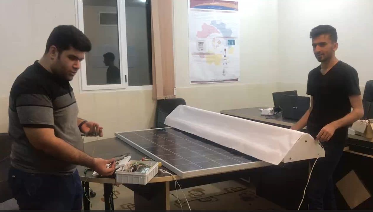
Developed an autonomous robotic solar-panel cleaning system using computer vision, embedded control, and environmental sensing for industrial solar-farm deployment.